Why location-based photo documentation matters
A camera roll answers when. Location-based photo documentation answers where. Months later, that is the question that actually gets asked.
What goes wrong without the plan
Two people name the same space differently. A punch photo looks like the unit next door. An adjuster asks which elevation. The folder is complete and still useless. That is not a software branding problem. It is missing spatial context.
What the plan adds
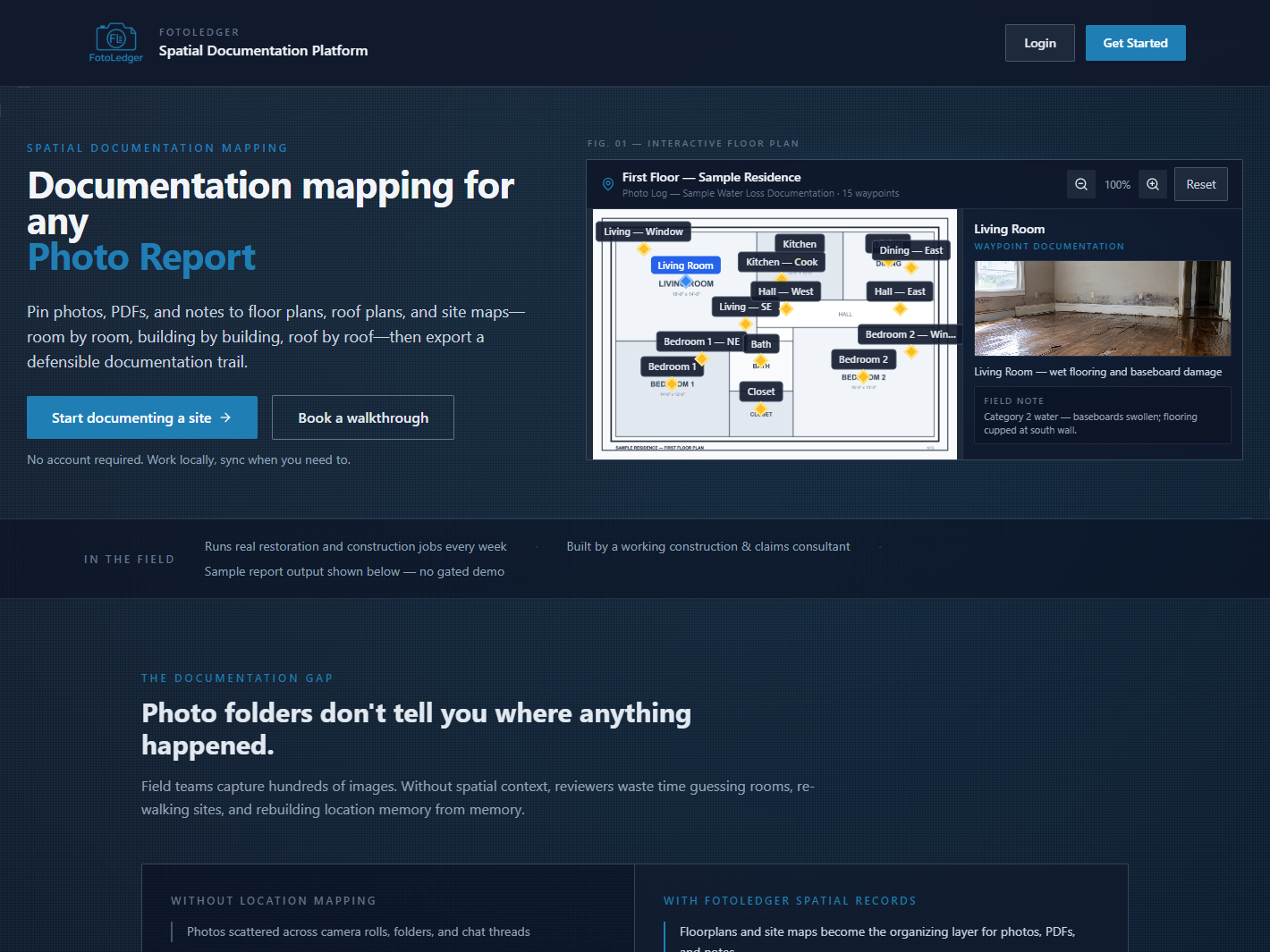
Photos pinned to a floor plan inherit a room, zone, or elevation at capture time. The exported report carries that trail. Reviewers click the drawing instead of reconstructing the walk. For the product model, see floor plan photo documentation software. For the folder comparison, see floor plan vs. camera roll.
Map photos to a plan