Roof and exterior documentation anchored to the plan
Storm, roof, and facade work needs location context: which slope, elevation, or perimeter zone each photo and note belongs to. FotoLedger is roof inspection photo documentation anchored to the roof or site plan—spatial documentation, not a camera-roll dump.
The problem
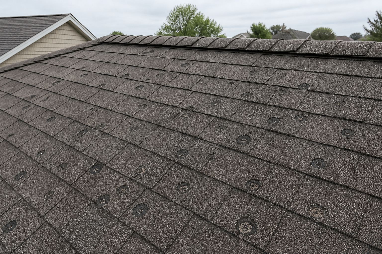
Exterior photo dumps make it hard to tell which elevation or roof section an image shows. Reports look complete until someone asks “where on the building was that?â€
How FotoLedger helps
- Import a roof plan, site map, or aerial overview.
- Mark slopes, elevations, and perimeter points with waypoints.
- Attach photos, manufacturer PDFs, and field notes at each pin.
- Export a PDF report with a clear spatial trail for clients and carriers.
Frequently asked questions
Can I document roof and exterior damage on a plan?
Yes. Import a roof plan, site map, or aerial overview, place waypoints on slopes and elevations, attach photos and notes, and export a PDF with a clear spatial trail.
Is roof site documentation free in FotoLedger?
Yes. Local mode is free with no account and no trial clock. Cloud sync includes 250 MB free cloud; FotoLedger Cloud is $5/mo for 5 GB (local stays free).
Do exterior photos stay mapped to the correct elevation?
Yes. Each photo and note is pinned to a waypoint on the roof or site plan, so reviewers can see which slope, facade, or perimeter zone it belongs to.
Is FotoLedger a roofing CRM or estimating platform?
No. FotoLedger is focused spatial documentation — photos, PDFs, and notes anchored to the plan. It does not replace estimating or CRM tools.