Floor plan vs. camera roll: a better way to document a jobsite
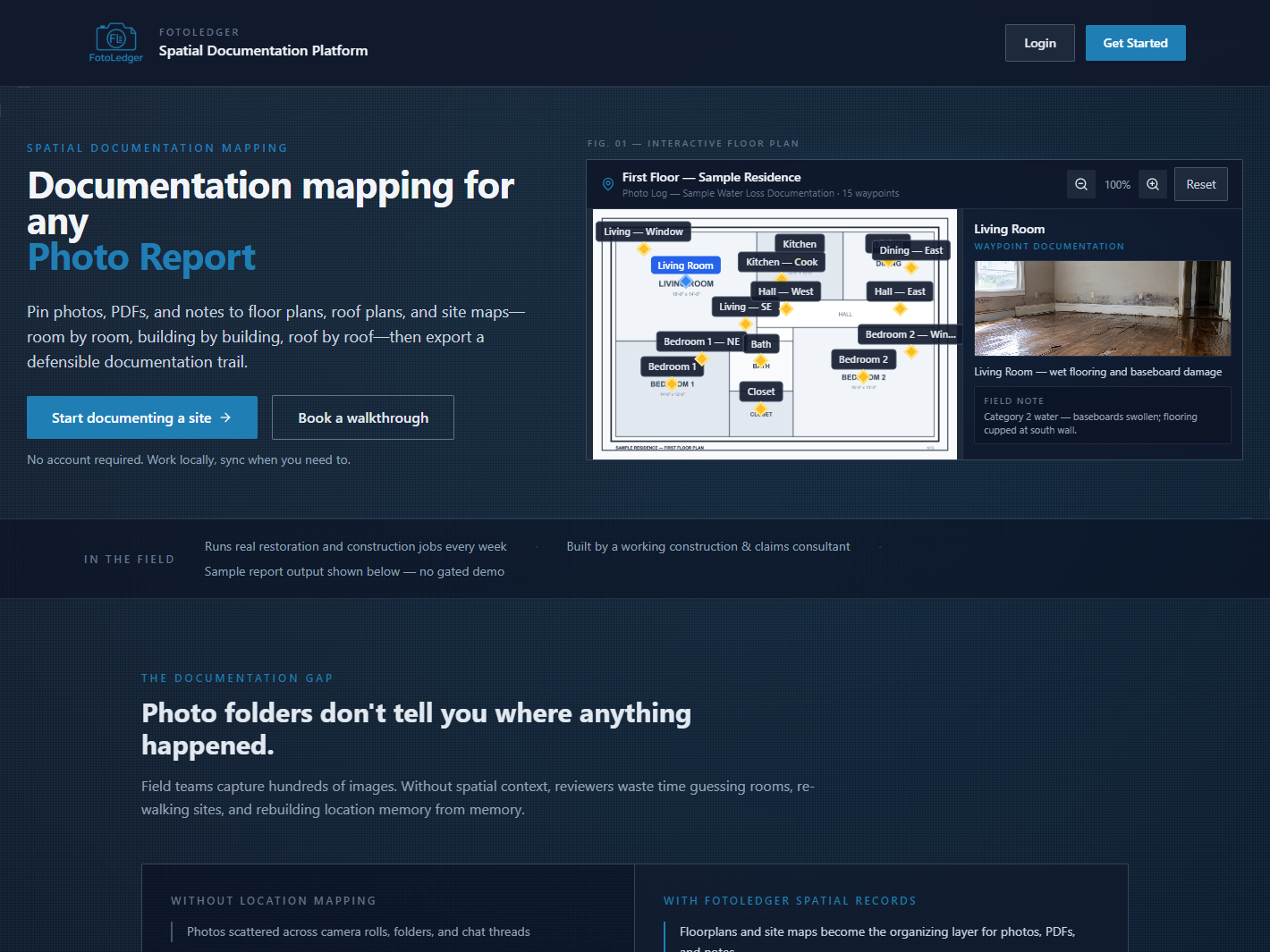
A camera roll proves you were on site. A floor plan with photos pinned to it proves where each condition was. That is the difference between a gallery and plan-based photo documentation.
What a camera roll cannot answer
When, maybe. Which room, which elevation, which unit — not reliably. Captions help until two people use different names for the same space. Jobsite photo documentation needs a shared map.
What the floor plan adds
- Photos pinned to floor plans inherit a location the moment they are attached.
- Waypoints make rooms and zones explicit.
- The spatial trail survives in the exported photo report.
- Clients, adjusters, and PMs can follow the site without a walkthrough replay.
FotoLedger is built for that layer: spatial documentation on floor plans, roof plans, and site maps — then a PDF with location context intact. It is not another GPS photo feed. See FotoLedger vs jobsite photo apps if you are comparing gallery-first tools.
Map photos to a plan